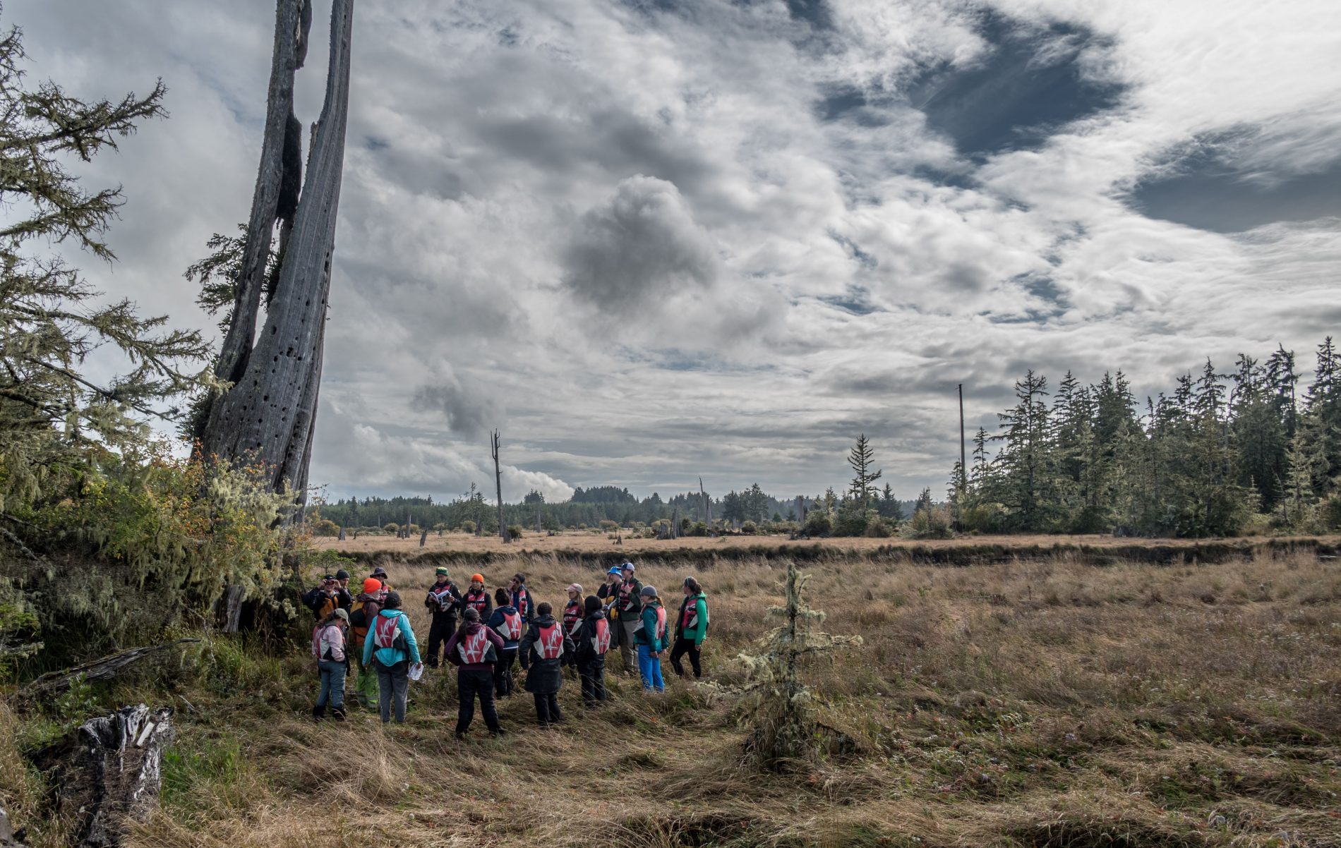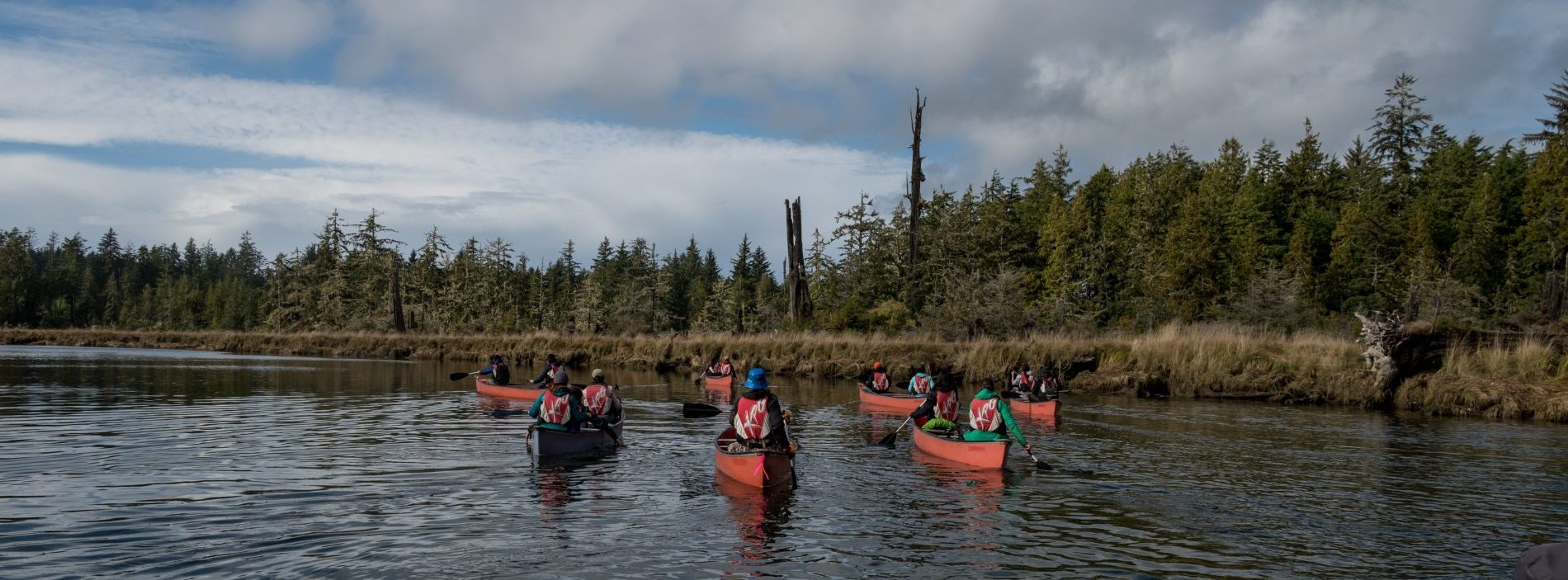
In September, Dr. Brian Atwater, along with graduate students Paul Morgan, Hope Sisley, Andrew Shumway, and Trent Thomas, and postdocs Larry Lai and Jey Kim, led a fieldtrip for the group of incoming grads and postdocs to Copalis, near Ocean Shores, WA. The group set off in nine canoes, their first stop the Highway 109 bridge over the Copalis River. This bridge, now rebuilt, was destroyed by a tsunami triggered by the 1964 M9.2 earthquake in Alaska. However, the area around Copalis also records much older tsunamis.
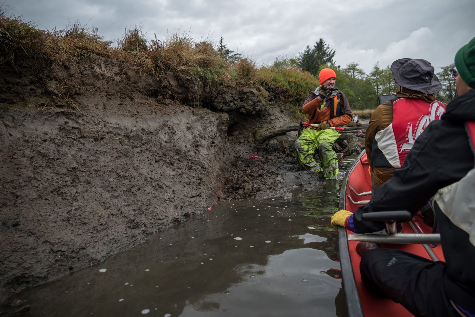
Turning around and paddling upstream, the group came to a second site with several outcrops of late Quaternary deposits. During low tide, each outcrop spans approximately 10 meters in width and 2 meters in height. At the bottom of these outcrops exists a laterally continuous ancient soil layer accompanied by tree roots, indicating a past terrestrial forest environment. This paleosol layer is sharply overlaid by a thin sand deposit, which is interpreted as the result of sedimentation from a tsunami. Above the submerged tsunami sand, a thick marine or tidal mud layer was subsequently deposited, suggesting that this area had experienced sudden land subsidence and marine inundation following a massive earthquake in the Cascadia Subduction Zone.
Today, these strata are preserved under the modern marsh soil surface above sea level. This implies that the land surface has slowly re-uplifted to intertidal and coastal marsh environments, where plants and other organisms have reclaimed the area.
Continuing upstream, the group arrived at the Copalis Ghost Forest. Once a mature forest, these dead trees are evidence of major earthquakes, land subsidence, and tsunamis. Early geochronology studies used radiocarbon dating of materials within the buried, ancient soil to suggest that this abrupt subsidence occurred around the year 1700 CE. However, large uncertainties of this method prevented geologists from conclusively determining the age within an accuracy of a year.
-
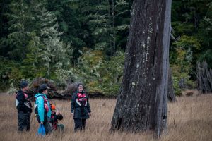
- New graduate student Julia Grossman admiring a tree of the Ghost Forest.

-
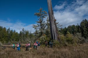
- Students learning about the Ghost Forest and 1700 Tsunami.

Fortunately, dendrochronology, the dating material by tree rings, indicated that all the trees in the Copalis Ghost Forest died during the winter of 1699-1700. Salt water inundation in this coastal area would have “drowned” these trees, leaving behind a “ghost forest”.
Stories about a great earthquake and tsunami around 1700 CE are recorded in the historical traditions of indigenous peoples from Vancouver Island to Northern California (Ludwin et al., 2005). Across the Pacific, on January 27th an orphan tsunami, a tsunami with no apparent cause, swept through coastal towns in Japan. Japanese historical records, along with tsunami modeling, confirm that the great earthquake on Cascadia Subduction Zone occurred approximately 9pm PST on January 26th, 1700. You can read more about this event in Atwater’s book The Orphan Tsunami of 1700.