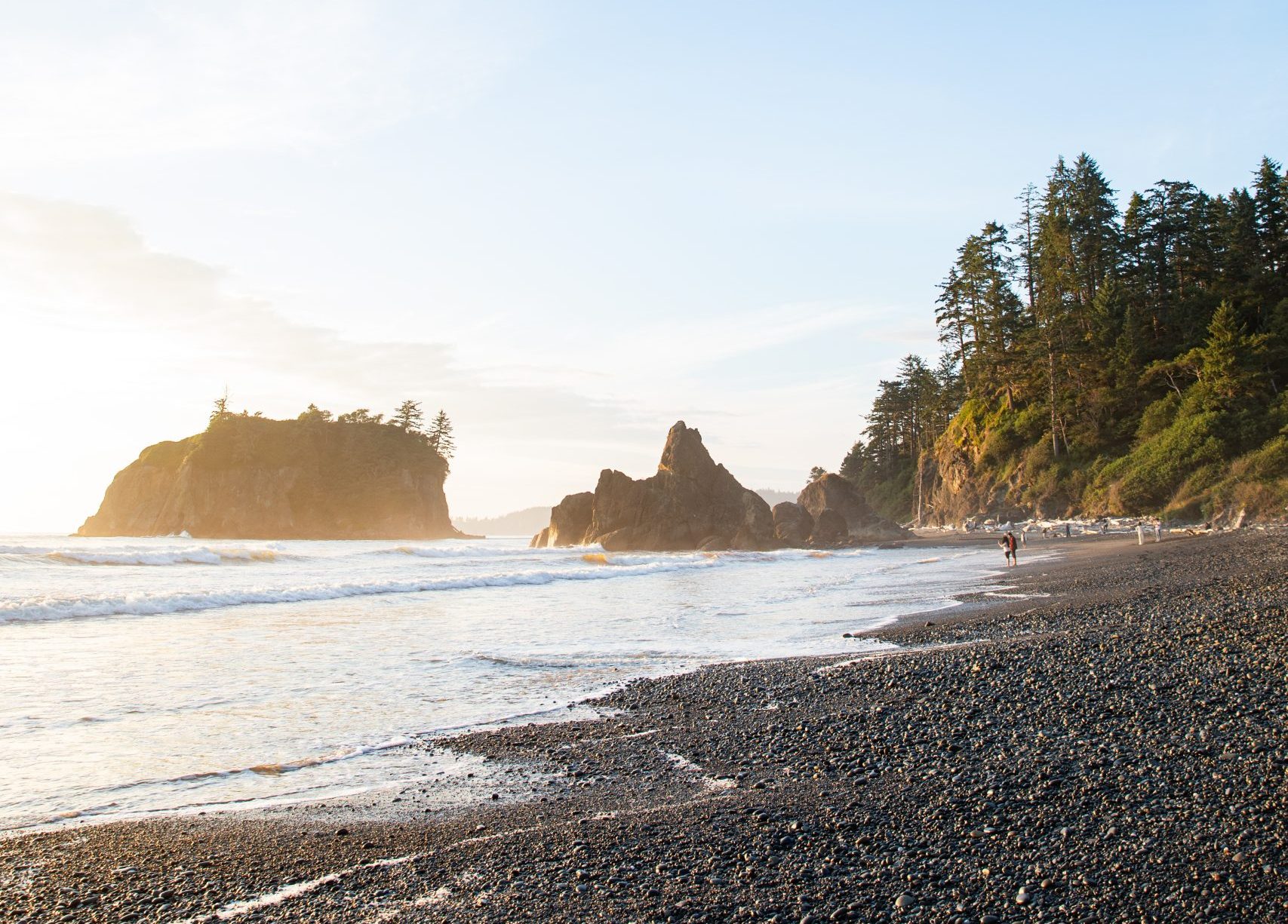
 Stretching from northern California to the Salish Sea, the Cascadia coastline is a region of extraordinary natural and cultural richness, unique ecosystems, and significant risk. Located along the Pacific “Ring of Fire,” Cascadia sits above an active subduction zone and faces a range of coastal natural hazards: earthquakes, tsunamis, landslides, sea level rise, erosion, ecosystem changes, and the increasing impacts of climate change on storms and flooding severity.
In Cascadia, many coastal communities are rural, geographically isolated, and face economic pressures that can limit their ability to prepare for hazards. These communities have strong place-based identities and deep knowledge of their local environments, including generations of Indigenous stewardship, that result in natural, social, and cultural capitals, resources, and assets that are important for resilience.
The urgency to increase communities’ adaptive capacity and resilience grows as coastal populations expand and climate-related risks accelerate. Nearly 40% of the U.S. population now lives in a coastal county and community members must be prepared for increasingly severe environmental pressures. The Cascadia Coastline and Peoples Hazards Research Hub was established to advance both the scientific understanding of coastal hazards, and the practical tools communities need to plan for them.
What is the Cascadia CoPes Hub?
The Cascadia Coastline and Peoples Hazards Research Hub, or Cascadia CoPes Hub, supported by the National Science Foundation as part of its Coastlines and People Program, brings together natural scientists, social scientists, engineers, educators, policymakers, and community organizations to address the growing challenges of natural hazards facing coastal communities. This multi-institutional team, led by Oregon State University and the University of Washington, focuses on a wide range of hazards through a multidisciplinary approach integrating geoscience, social science, public policy, and community engagement.
The Cascadia CoPes Hub aims to increase the capacity of coastal communities to adapt to risks by co-producing research with local partners and investing in education. The Hub is also dedicated to training the next generation of coastal hazard scientists and leaders, especially those from communities historically underrepresented in these fields. “The project intentionally emphasizes incorporating traditional ecological knowledge from the region’s Native American tribes as well as local ecological knowledge from fishers, farmers and others who have personal history and experience with coastal challenges” (UW News).

Faculty, researchers, and students in the Department of Earth and Space Sciences play a central role in the Cascadia CoPes Hub, where research is organized into five teams. ESS researchers largely lead and participate in Team 1, which focuses on studying and modeling geohazards associated with earthquakes, tsunamis, and landslides to better understand their impacts on infrastructure and coastal communities. ESS faculty Alison Duvall, Harold Tobin and Erin Wirth (U.S. Geological Survey) serve as co-leads of Team 1, working alongside regional partners to strengthen coastal resilience across the Pacific Northwest.
“We’re not thinking only about the possibility of one magnitude-9 earthquake; this effort is about the fabric of hazards over time,” co-principal investigator Harold Tobin told UW News in a related article. “The heart of this project is merging physical science and social science with a community focus in an integrated way — translating scientific discovery with actions that coastal communities can use.” Tobin is also the director of the Pacific Northwest Seismic Network.
Team 1 also includes ESS faculty members Prof. David Schmidt and Prof. Juliet Crider; affiliate faculty members Frank Gonzalez, Loyce Adams, and Randy LaVeque; USGS research scientists Alex Grant, Joan Gomberg, Audrey Dunham, and Ian Stone; and WA Sea Grant specialists Ian Miller and Carrie Garrison-Laney (Ph.D. 2017). ESS graduate students Julia Grossman, Anna Ledeczi, Madeleine Lucas, Erich Herzig, Paul Morgan, Carolyn Nuyen, Anna Pearson, Elizabeth Davis, Bering Tse, and ESS postdocs Jey Kim and Larry Syu-Heng Lai have carried out much of the core research of the Hub since its inception.
The other institutional partners involved in the CoPes Hub are Washington Sea Grant, Oregon Sea Grant, University of Oregon, Washington State University, William D. Ruckelshaus Center, Humboldt State University, the U.S. Geological Survey, NOAA, the Swinomish Indian Tribal Community, Georgia Tech University and Arizona State University, as well as several state agencies.
Modeling the hazards we face
One of the goals of the Cascadia CoPes Hub is to create cutting-edge 3D earthquake simulations that bring to life what ground shaking might look and feel like across the Pacific Northwest. Because we can’t predict exactly when or how the next big Cascadia Subduction Zone earthquake will strike, Audrey Dunham and her team use the best available science to explore a wide range of possible earthquake scenarios. This includes new seismic imaging, analysis, and mapping of potentially active offshore fault systems by UW grad students Anna Ledeczi and Madeleine Lucas working in Prof. Harold Tobin’s group. Why does this matter? Unlike California or Japan, Cascadia doesn’t have many instrumentally recorded earthquakes to learn from. These earthquake simulations help fill in the gaps, letting us test what might happen and how bad it could get, from the shaking itself to what comes next: tsunamis, coastal land-level change, landslides, and liquefaction.

Similarly, Julia Grossman is creating 3D earthquake simulations of hypothetical earthquakes on the Seattle Fault. The Seattle Fault runs directly underneath the city of Seattle and has the potential to cause earthquakes as large as ~M7.8 and generate a tsunami within the Puget Sound. To mitigate the potentially high human and economic costs of an earthquake so close to a major population center, it is important to know which areas are most at risk and what the expected range of ground shaking will be.
Together, Dunham and Grossman’s earthquake simulations are being used by researchers across the CoPes Hub to model tsunami generation and inundation (UW Applied Math, NOAA Pacific Marine Environmental Lab), the impacts of coastal land-level change (UW ESS), prediction of landslides and liquefaction that might occur due to the strong shaking (UW ESS and Civil Engineering) damage to buildings and bridges (UW Civil Engineering) and determining how long it might take for communities to bounce back (OSU College of Engineering).
These estimates of earthquake ground shaking and cascading hazards can ultimately be combined with estimates of earthquake recurrence (UW ESS, Washington SeaGrant), to better constrain seismic hazard estimates throughout the region. It’s all part of a larger effort to make sure we’re better prepared for the large earthquakes in the Pacific Northwest.
“As a geophysicist, my goal is to bridge the gap between geohazards research, disaster mitigation strategies and community resilience. Doing the research and moving on to the next scientific question is not enough. We need to make our findings useful and actionable for at-risk communities” says Grossman. “Through CoPes, I am able to address outstanding scientific questions related to seismic and tsunami hazards while also conducting especially meaningful outreach.”
UW students partner with Indigenous communities
Indigenous communities are particularly vulnerable to high-intensity ground shaking and tsunamis from Cascadia megathrust earthquakes. In recent years, tribal schools in the tsunami inundation zone have begun relocating to higher ground, but more work is needed to strengthen coastal resilience to geohazards and to support indigenous students in Earth Science and STEM fields. Cascadia Culture And geoScience Exchange (CCASE) is a grassroots initiative led by graduate and undergraduate students at UW.
The student-driven program, which got its start in 2023 as a CoPes Hub Pilot Project led by Madeleine Lucas, strives to increase coastal community resilience to geohazards through long-lasting and impactful educational partnerships with rural and tribal K-12 schools at risk of Cascadia earthquakes and tsunamis. CCASE’s Quileute (Kʷòʔlíyot’) program at Quileute Tribal School in La Push, WA is currently in its 4th year, and CCASE’s Makah (Qʷidiččaʔa·tx̌) program at Neah Bay High School in Neah Bay, WA is in its second year.
Modeled after UW’s Riverways Education Partnerships program, CCASE engages undergraduate and graduate students in developing and teaching geohazards curricula in coastal K-12 classrooms. Each spring, CCASE team members travel to rural and tribal schools during UW’s Spring break to lead week-long, hands-on lessons that integrate geoscience and Indigenous knowledge. Field trips and guest lectures from Elders provide vital place-based learning.

By centering Indigenous experiences and ways of knowing, CCASE empowers rural and tribal students to see themselves as Earth scientists and to pursue STEM opportunities after high school. At the same time, CCASE team members learn deeply from students, partner teachers and community members who generously share their cultural traditions, languages, histories and traditional knowledge throughout the school year.
To further support student engagement, CCASE also offers a year-long paid internship program that mentors select high school students and provides a pathway into Earth science and higher education for Indigenous students.
ESS PhD student and CCASE-Makah Team Lead Julia Grossman reflects on her experience:
“Through CCASE, I have the privilege of working and building relationships with strong, vibrant communities while teaching potentially life-saving geoscience along Washington’s coast. By engaging with students and meeting them where they’re at, I think we’ve gained their trust and are making a difference. I learn far more from everyone we meet in La Push and Neah Bay than I could ever teach them in return, though I will spend my time at UW trying. I love this program. CCASE is the most meaningful work I do as a graduate student.”
Learn more about CoPes
The Cascadia CoPes Hub is excited to begin year 5 of the grant and looks forward to continued research and collaboration with community partners. The Hub also organizes a monthly online seminar that features hazard-related research and community-engaged projects.
For more information on the Hub, you can contact or visit their website (cascadiacopeshub.org).